Kleos Space S.A (ASX:KSS, Frankfurt:KS1), a space-powered Radio Frequency Reconnaissance Data-as-a-Service (DaaS) and Mission-as-a-Service (MaaS) provider, has partnered with leading geospatial developer platform and marketplace, UP42, to offer Kleos’ RF geolocation data to their platform users.
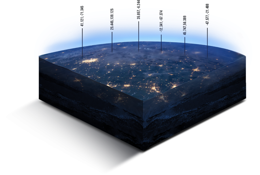
Under the partnership, Kleos’ geospatial data product, Guardian LOCATE, will be available on UP42’s marketplace. Guardian LOCATE provides processed geolocated radio frequency transmissions collected over key areas of interest by Kleos’ satellites, enhancing the intelligence, surveillance, and reconnaissance (ISR) capabilities of users.
The UP42 marketplace features more than 180 geospatial data sources and algorithms, from leading geospatial organisations. Kleos’ RF data can be used to validate or tip and cue commercial datasets to establish a baseline pattern of behaviour, complementing the existing data available on UP42’s marketplace.
Kleos currently has multi-satellite missions in orbit, that collect radio frequency transmissions over key areas of interest to produce its data products, and another multi-satellite mission launching before the end of 2022.
Kleos’ Chief Revenue Officer, Eric von Eckartsberg, said, “UP42 offers its users a vast range of data sources, such as satellite imagery with algorithms, to identify objects, detect change, and find patterns. The addition of our precision radio frequency geolocation data, low earth orbit technology, and industry know-how will be beneficial for all of UP42’s platform customers. We are looking forward to helping unlock new capabilities from the fusion of these datasets with existing imagery and algorithms. By making our data available via UP42, we provide access to an even greater number of potential customers, increasing our market penetration.”
“By partnering with Kleos, we stay true to our mission of commercializing data that would otherwise not be easily available,” said Kevin Boverie, Head of Partnerships and Resellers at UP42. “This opens countless opportunities for our customers to combine different products available on our marketplace with Kleos’ RF geolocation data and expand their applications across multiple industries.”
Kleos’ satellites detect and geolocate radio frequency transmissions, enhancing the detection of illegal activity, including piracy, drug and people smuggling, border security challenges and illegal fishing. Its global activity-based data is delivered via API and sold as-a-service to governments and commercial entities either directly or via channel partners.
About Kleos Space
Kleos is a space-enabled radio frequency Reconnaissance data-as-a-service company with operations in Luxembourg, the US and UK. Kleos locates radio transmissions in key areas of interest around the globe, efficiently uncovering data points to expose human activity on land and sea. Using clusters of four satellites, proprietary radio frequency data (RF Data) is collected, transmitted to the ground, processed, and delivered to customers worldwide. Customers, including analytics and intelligence entities, will license data on a subscription basis (Data-as-a-Service aka DaaS), for government and commercial use cases – aiding better and faster decision making. Kleos’ first satellite cluster, the Scouting Mission (KSM), successfully launched in November 2020 and performed as a test and technology demonstration mission. The company’s second satellite cluster, the Vigilance Mission, successfully launched in June 2021 and its Patrol Mission launched in April 2022. Kleos’ fourth cluster, the Observer Mission, is targeted for a 2022 launch. These satellite clusters form the foundation of a global high-capacity constellation of up to 20 satellite clusters, which will deliver high value global observation. For more information visit: www.kleos.space
About UP42
UP42 is changing the way geospatial data is accessed and analyzed. The platform and marketplace bring together multiple sources of data such as satellite imagery, weather data, and more—together with algorithms to identify objects, detect change, and find patterns. Industry leaders use UP42 to inform business decisions and build scalable customer solutions. Know when and where to fertilize crops. Measure air quality and map emissions. Count cars, trucks, planes, and ships. Developers and data scientists across all industries now have access to a platform to build, run, and scale projects in one place. Visit: www.up42.com.